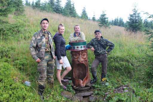
Ecological and cognitive tourist route “Perkalaba-Probiynivka”
-
Difficulty
Average -
Length
25 km
-
Perkalaba stow
It begins with the village of Perkalab, Holoshyn village council. At the very beginning of the route you can see the remains of the splash dam “Crown Prince Rudolf’s Gateway” 47.78737, 24.94405 and the water reservoir.
-
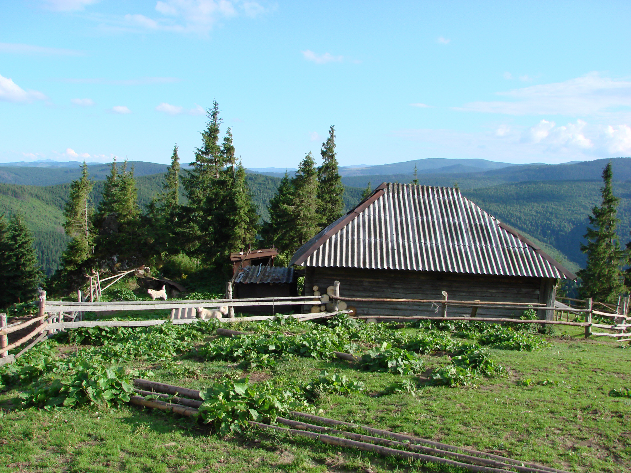
Preluchnyi meadow

Preluchnyi is a mountain meadow in the Ukrainian Carpathians, located in the Verkhovyna district of the Ivano-Frankivsk region. On the meadow there is a chapel, a tourist shelter, outbuildings.
-
Vasylkova Mountain
Vasylkova Mountain (1540 meters above sea level). From the top there are beautiful landscapes of Chyvchyno-Hryniav and Romanian mountains open.
-
Glystovata Mountain
After climbing the mountain, you can enjoy the view of the Tomnatyk mountain meadow, where the Pamir radar station is located.
After that you go through incredible mountain meadows, where you can taste and buy natural dairy products (meadow cheese, brynza, wurdu) and have a good rest.
-
Shyroka meadow
The area of the mountain meadow is 119 hectares, it is located at an altitude of 1499 meters above sea level. Here you can see the Gostivets ridge and the Gostivets mountain meadow, which is a complete plateau.
-
Gajuga meadow
-
Plevie meadow
-
Mokrynets meadow
-
Mala Dukonya meadow
-
Mount Shtefulets Velykyi
Height above sea level is 1572 meters
-
Mosirny stream
-
Probiynivka village
Deviation from the route.
Damage to natural objects.
Breeding hearths in places not designated for this purpose, smoking when passing through forests.
Felling and damage to trees plucking flowers, collecting medicinal plants.
Hunting for animals, destruction of their habitats.
Catching fish by any means.
Stay with firearms.
Territory littering, noise.