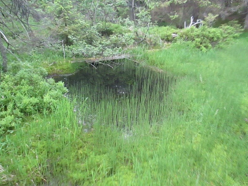
Wild and virgin. And this is their feature and beauty. This is the only area in the Ukrainian Carpathians where the oldest metamorphic formations come to the surface, covered by Paleozoic and Mesozoic sedimentary cover. Throughout the history available, the Marmara Massif has developed differently, apart from the flysch area to which the Hryniav mountains belong. The borders of the Chyvchyn Mountains are the streams Shibeny, Chornyi Cheremosh, the sources of Perkalab - from the north and east.
Solid metamorphic and massive sedimentary rocks form here jagged ridges of steep ridges with numerous spiers and cliffs.
The main Chyvchyn ridge, which is also part of the main watershed, starts from Mount Stig (1651 m) and extends to Mount Krecel. The line of the ridge is fixed by peaks - Popadya(1526 m), Ryzhuvaty (Lostun) (1641 m), Lostun Maliy (1595 m), Shtevyora (1617 m), Palenitsia (1750 m).
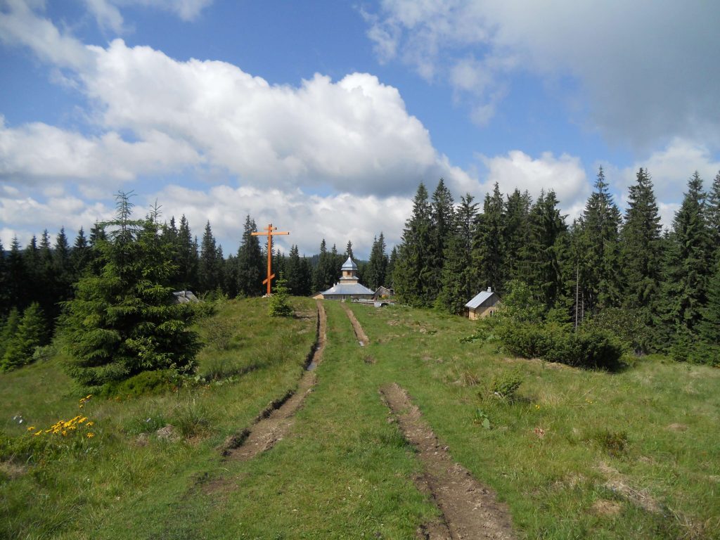
The ridge connecting Chyvchyn with the Hryniav Mountains starts from Palenytsia. By the way, the Palenytsia mountain meadow is the highest plateau in Ukraine.
The route in this direction is fascinating for its remoteness from civilization. Here you will be able to "retreat" from everyday life and bustle. Dive into the natural beauty, because the mountain scenery here is especially picturesque. There is no mobile connection for most of the way. We do not recommend going to the Chyvchyn Mountains for beginners. This route is designed for connoisseurs of hiking.
The Chyvchyn Mountains are the northwestern part of the Marmara Crystal Massif, and most of the Verkhovyna National Nature Park is located within these mountains. The state border of Ukraine with Romania runs along the entire Chyvchyn ridge.